Home/Curriculum resources/Co-design in fire management /Activity 2 – Mapping for fire management
Learning Area:
Technologies
Year levels:
Level 5, Level 6
Required resources:
A3 paper, tracing paper, markers and pencils

Activity 2 – Mapping for fire management
This activity is a part of the Co-design in fire management resource.
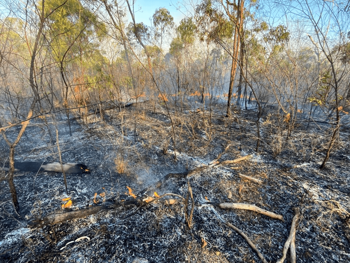
Afterburn. Location: Mornington Island, Lardil Country. Photographer: Joe Sambono. Source: Ngarrngga. © Joe Sambono 2023. Used with permission.
Following on from Activity 1, students will work through a process of compiling information into maps and discussing fire management as a group, similar to the process of compiling a community Fire Management Plan.
For an example of a community Fire Management Plan process see http://www.firesticks.org.au/firesticks/wp-content/uploads/2014/06/Guide-for-Developing-a-Fire-Management-Plan_web.pdf
Step-by-step guide
Step 1: Create your local area map
Use a large printed map of your school or town area (e.g. a topographic map or other existing map) – you can either draw directly onto this or overlay tracing paper to draw on details. Alternatively, each group can draw a map of the school area showing buildings, other infrastructure, and bush areas.
Label the maps with a title, include a north arrow, and important land tenure, e.g. national parks, significant neighbours, as well as main roads.
Either by walking around your school, or using Google Earth, add infrastructure to your map – you can overlay your map with a new piece of tracing paper – buildings, fences, power lines, roads and trails/paths, gates (locked/unlocked?), and all water sources. Identify your school’s emergency assembly point.
Step 2: Identifying community and cultural values
On a new piece of tracing paper, identify community values, both Indigenous and non-Indigenous. Some examples are:
Scar trees, or other significant trees
Rock art
Cemeteries and burial places
Swimming holes
Historic sites
Step 3: Identifying ecological values
Identify ecological values - vegetation types, wetlands, old growth forest, endangered species.
On the map, rate vegetation areas as Low Fire Risk, Medium Fire Risk, High Fire Risk – you can look at vegetation on aerial imagery to decide, e.g. differentiate between dense forest and grassland, or if you live in a very rain forested area with high rainfall, this can also inform the level of risk.
Step 4: Discussion on protection
Using the maps, discuss as a class the assets you identified to protect (e.g. scar trees, school buildings, etc), and consider:
Is fire a big risk in your area, e.g. climate?
How you could reduce fire risk – should there be more space between bushland and buildings?
Where should controlled fires be used? What time of year?
What roads and access could you use to fight fire in an emergency?
Where is water access located?
Step 5: Inquiry-based discussion questions
Discuss the following inquiry-based questions:
The role of technology (e.g. fire trucks, weather forecasting) versus planning (e.g. reducing fire loads).
How can perspectives from Aboriginal and Torres Strait Islander People and other community members work together to keep communities safe?
How can you make sure everyone in the community is happy with this plan?
How might building positive relationships in the community during planning help in emergency situations?
Related activities within this resources:

Activity 1 – Fire in your community
Students will research background information on their local area to inform and help create a bushfire management plan map.

Activity 3 - Bridge Thinking Routine
Students use a bridge thinking routine to support exploring fire management practices. Students should begin this routine before reading the co-design in fire management information sheet.