Home/Curriculum resources/Co-design in fire management /Activity 1 – Fire in your community
Learning Area:
Technologies
Year levels:
Level 5, Level 6

Activity 1 – Fire in your community
This activity is a part of the Co-design in fire management resource.
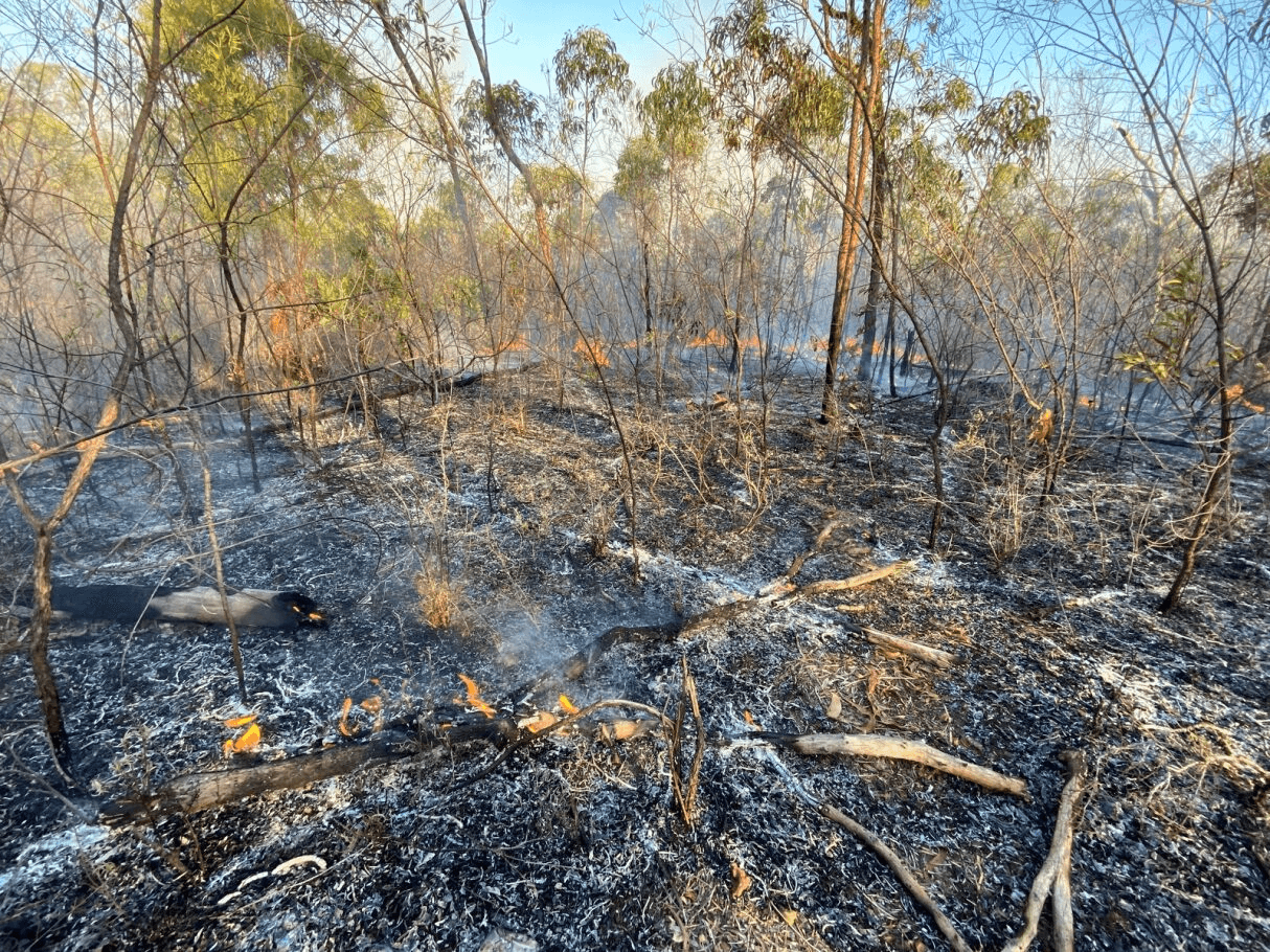
Afterburn. Location: Mornington Island, Lardil Country. Photographer: Joe Sambono. Source: Ngarrngga. © Joe Sambono 2023. Used with permission.
Students will research background information on their local area to inform their bushfire management plan map in Activity 2.
Step-by-step guide
Step 1: Research
Students can break into groups to research one subheading and compile information as a class. Subheadings include:
General overview of area – region, population, urban or rural, plantations, national parks, etc.
Climate – growing season, rainfall, length of hot dry weather, lightning
Topography – flat, undulating, mountainous, river systems
Bushfire fuels – vegetation types, how much area they cover, how dense are they?
Assets – town sites, construction areas, bridges, other infrastructure, historical sites, Aboriginal cultural sites, bush areas of high conservation value
Access – description of type and quality of roads – e.g. one-way, two-way, gravel, 4WD only. Note any barriers, e.g. swamps, rivers, sand ridges
Water supply – both domestic and external – hydrants, rivers, tanks, bores.
Step 2: Traditional Fire Knowledge
Research local traditional fire knowledge if available. The best place would be to ask a local Aboriginal corporation or other organisation for assistance.
Step 3: Inquiry-based question discussion
Based on this information, discuss the following inquiry-based questions:
When would be the safest time of year to do burning, or times of year or particular conditions on a daily basis that should be avoided?
What local groups are responsible for fire management – Country Fire Service, State Emergency Services, council, rangers, landholders etc, or a combination of these? What kind of activities do they do?
How could you involve multiple groups in working together to make a plan to manage fire together?
Discuss personal experiences: have you ever experienced a big fire, does your family have a bushfire plan at home?
Related activities within this resources:

Activity 2 – Mapping for fire management
Following on from Activity 1, students will work through a process of compiling information into maps and discussing fire management as a group, similar to the process of compiling a community Fire Management Plan.
Required resources:
A3 paper, tracing paper, markers and pencils

Activity 3 - Bridge Thinking Routine
Students use a bridge thinking routine to support exploring fire management practices. Students should begin this routine before reading the co-design in fire management information sheet.