Home/Curriculum resources/Geometry of water sources and landforms/Activity 2 - Calculate angles and distances of ascent and descent
Learning Area:
Mathematics
Year level:
Level 10

Activity 2 - Calculate angles and distances of ascent and descent
This activity is a part of the Geometry of water sources and landforms resource.
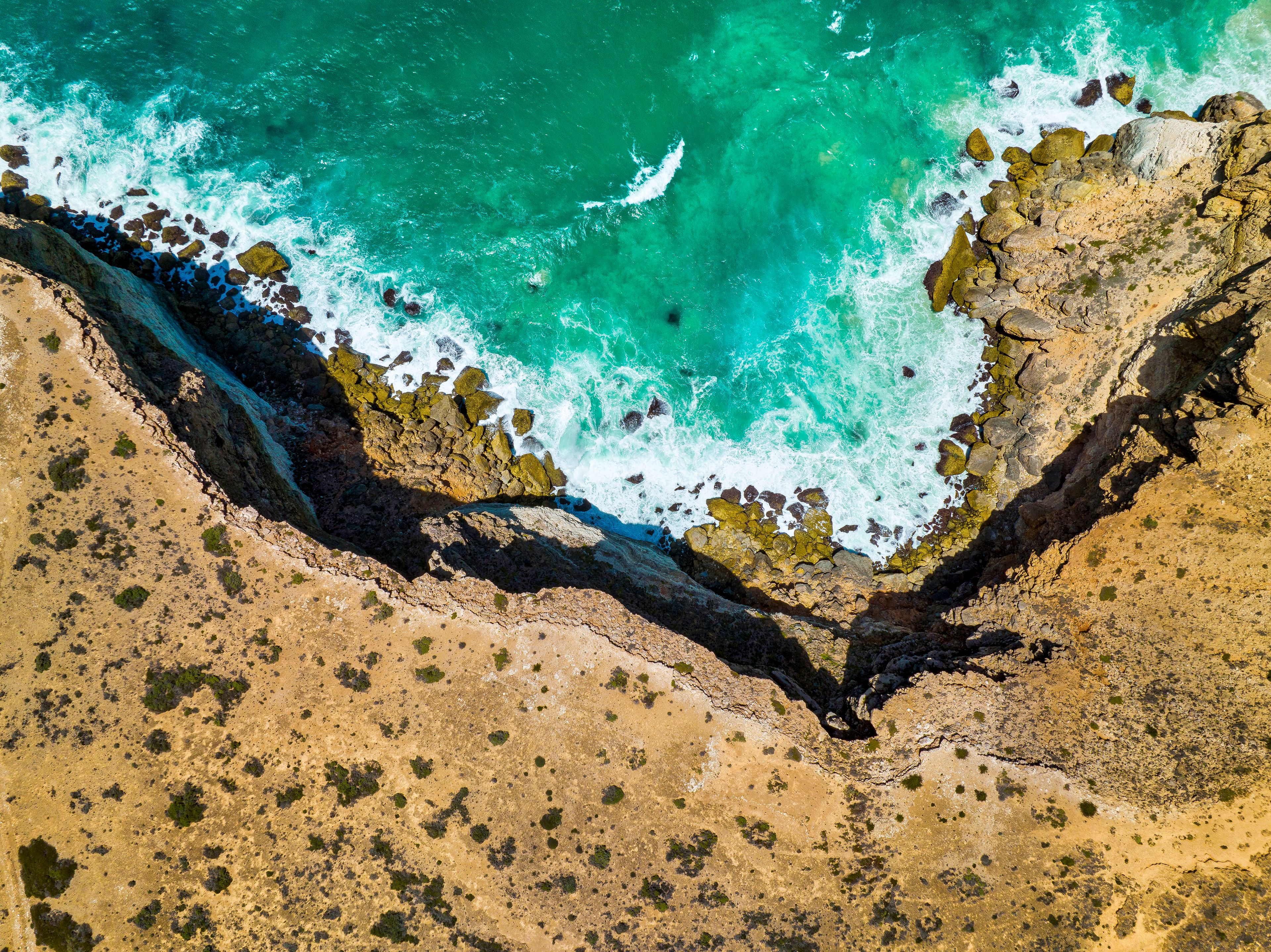
Great Australian Bight, Nullabor, South Australia. Photographer: Robbie Goodall. Source: Getty Images. Used under licence.
Students will calculate angles and distances of ascent and descent for traversing steep terrain to access waterholes, including determining horizontal distance, total walking distance, assessing the practicality of descending a 60° slope, estimating traverse distance at a 20° angle, and calculating the area of the composite shape formed during the traverse.
Step by step guide
Step 1: Calculate angles and distances of ascent and descent for traversing steep terrain to access waterholes
Significant water features are often found in steep terrain which is difficult to traverse. The exercise below shows an idealised traverse across a range of hills to access permanent waterholes. The hills rise at an angle of 30° to a height of 150 metres above the flat ground level. The range of hills is then flat for a horizontal distance of 200 metres and then falls at an angle of 60° back to flat ground.
Fig 1a: Sketch representing the terrain. Image source: Nick Watkins (BAppSc), Indigenous Hydrogeologist, WatSec Environmental. Used with permission.
Fig 1b: Photo of landscape around and on Arrernte Country. Image source: Michael Watkins. Used with permission.
Calculate the horizontal distance AB.
Calculate the total walking distance from A to B over the range of hills.
Can you comment on the reality of traversing down the 60° slope? Estimate a traverse distance down this side of the hills if you were to traverse across it at a less steep angle of 20°.
Calculate the area of the composite shape shown.
Related activities within this resources:

Activity 1 - Calculate the area and volume for typical water body shapes
Students will calculate the area and volume for different water body shapes, including small rock holes, semi-permanent waterholes, and large permanent waterholes, considering dimensions, slope angles, surface areas, and water sustainability for groups of ten people.

Activity 3 - Interesting attribute of a circle
In this final activity students will create three circles with different radii, mark four points around each circle to construct ABC triangles, and use a protractor to measure the angle ABC.

Activity 4 - Possible further activity
In this extension activity, students will utilise State/Federal water resource databases to access time series monitoring data for known water sources, statistically analyse the data to determine mean, minimum, and maximum values, explore relationships between water quality and quantity variables, and draw conclusions about the suitability of these water resources for potable water.