Home/Curriculum resources/Navigating our way through country/Understanding a map of country
Learning Area:
Mathematics
Year level:
Level 4
Suggested timing:
1 - 2 hrs
Required resources:
Map printout (provided), colouring pencils, ruler

Understanding a map of country
This activity is a part of the Navigating our way through country resource.
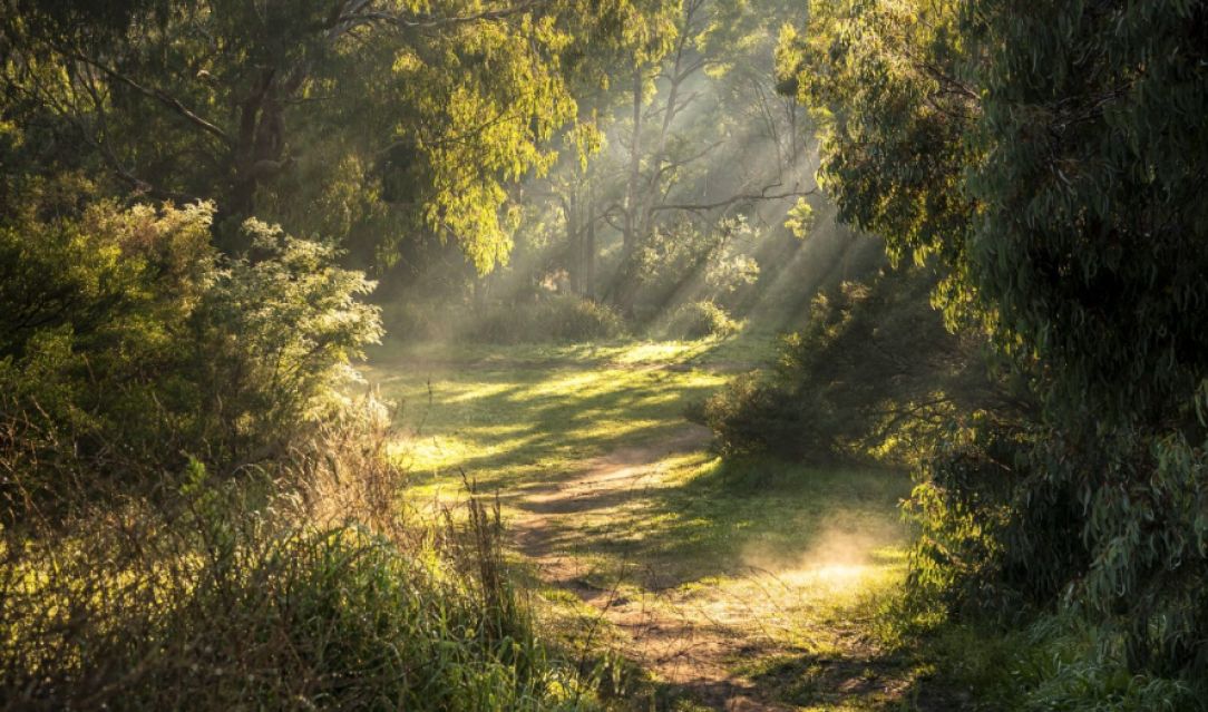
Darebin parklands Alphington by Tiffany Garvie. © Tiffany Garvie
Explore with students' ways in which information might be communicated – words/ stories, diagrams, gesture/ dance, artworks etc. Build an appreciation for the use of many modes.
This resource may provide some ideas to help with this: https://deadlystory.com/
Required resources
Map (Handout provided on right)
Colouring pencils or crayons
Ruler
Step by step guide
Step 1: Individually or in small groups students can study the map (30 mins)
Colour each feature (e.g. blue for waterhole, yellow for honey ants) to develop a better visual appreciation of the map area.
Identify the campsite area and the nearest waterhole.
Use a ruler to measure the distance units required to travel from the campsite to each waterhole on the three marked tracks. Highlight the shortest track. (Note some estimation will be required where the tracks are not exact multiples of the distance units).
Step 2: Describe and discuss (30 mins)
Describe what features you would be likely to see along the journey.
How long do you think it would take to walk to the nearest waterhole if 1 distance unit equals 1 kilometre?
Discuss how important this knowledge would be for survival, especially in desert areas where water sources may be great distances apart and some water sources may also dry up in drought periods.
Why do you need to be able to pass on this information to other people? Discuss the oral tradition and use of navigation markers. Compare this to how you might tell your friend where to meet at lunchtime in the school yard.
Step 3: Using a fresh copy of the map (1 hour)
Draw lines to connect the three waterholes. What shape does it make? Use the unit area scale to measure how many area units it is. (Note this will require some estimation of area units along the hypotenuse).
Draw lines to connect around the 4 sets of hills. What shape does this make? Use the unit area scale to measure how many area units it is.