Home/Curriculum resources/Groundwater/Inquiry-based learning questions
Learning Area:
Science
Year level:
Level 10

Inquiry-based learning questions
This activity is a part of the Groundwater resource.
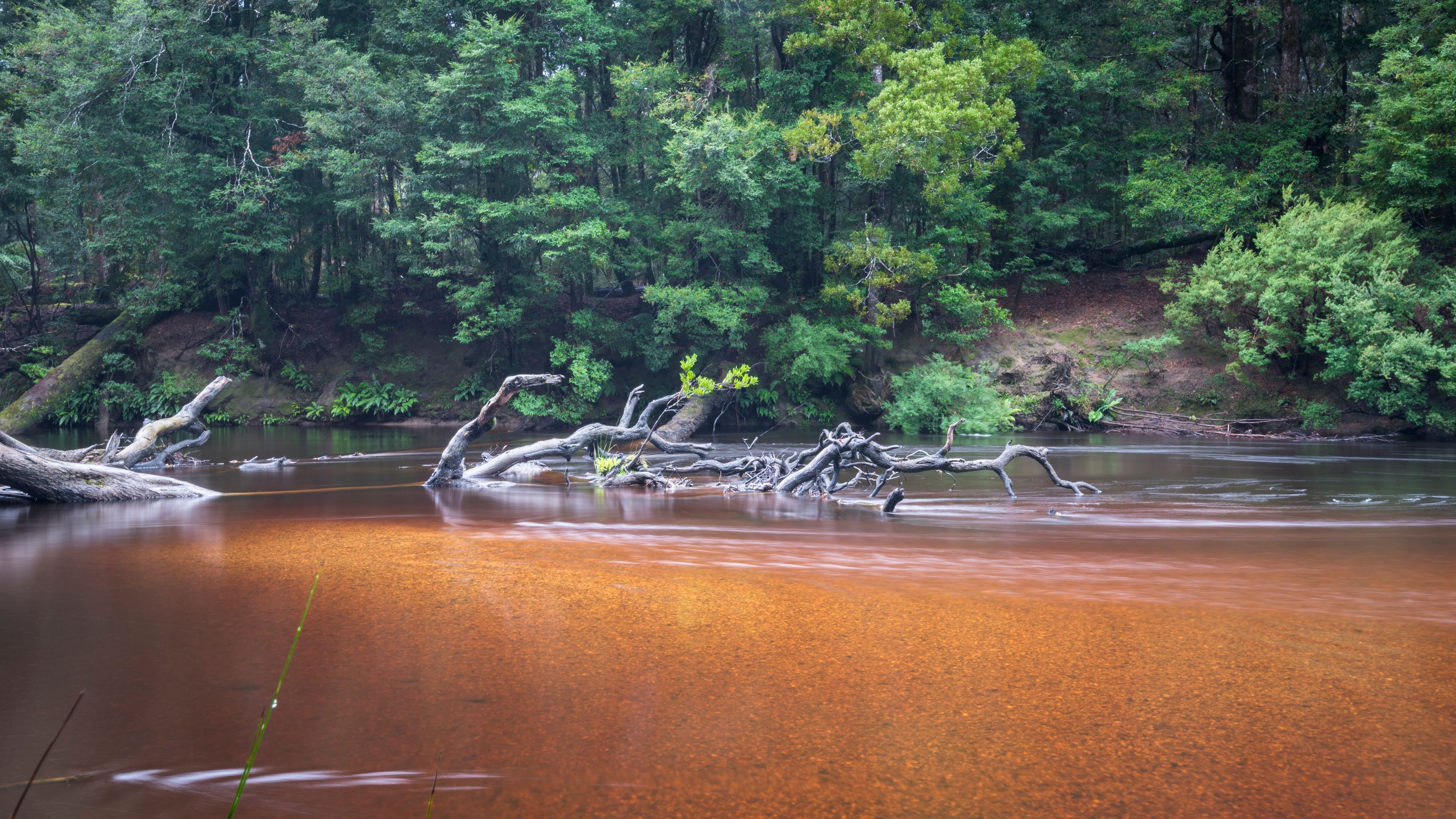
Misery Island Coastline, Misery Island, Palawa country. Tiffany Garvie. Source: Ngarrngga. © Tiffany Garvie 2023. Used under licence
These inquiry-based questions are provided for flexible classroom use, allowing teachers to tailor discussion and reflections specific to their classroom needs
Suggested resources
Inquiry questions
Why were the watershed basins used as a template to define regions on the map of Indigenous Australia? (https://aiatsis.gov.au/explore/articles/aiatsis-map-indigenous-australia)
What are some of the environmental indicators of a freshwater source that Aboriginal and Torres Strait Islander Peoples use?
Why is the utilisation and management of groundwater resources important to Aboriginal and Torres Strait Islander Peoples?
How do Aboriginal and Torres Strait Islander Peoples minimise evaporation to conserve freshwater resources?
How does reliable access to water impact on the sustainability of Aboriginal and Torres Strait Islander culture?