Home/Curriculum resources/Indigenous astronomy, geography, and star maps /Activity – Examining landscape features and star maps
Learning Area:
Humanities and Social Sciences
Year levels:
Level 7, Level 8
Suggested timing:
One lesson

Activity – Examining landscape features and star maps
This activity is a part of the Indigenous astronomy, geography, and star maps resource.
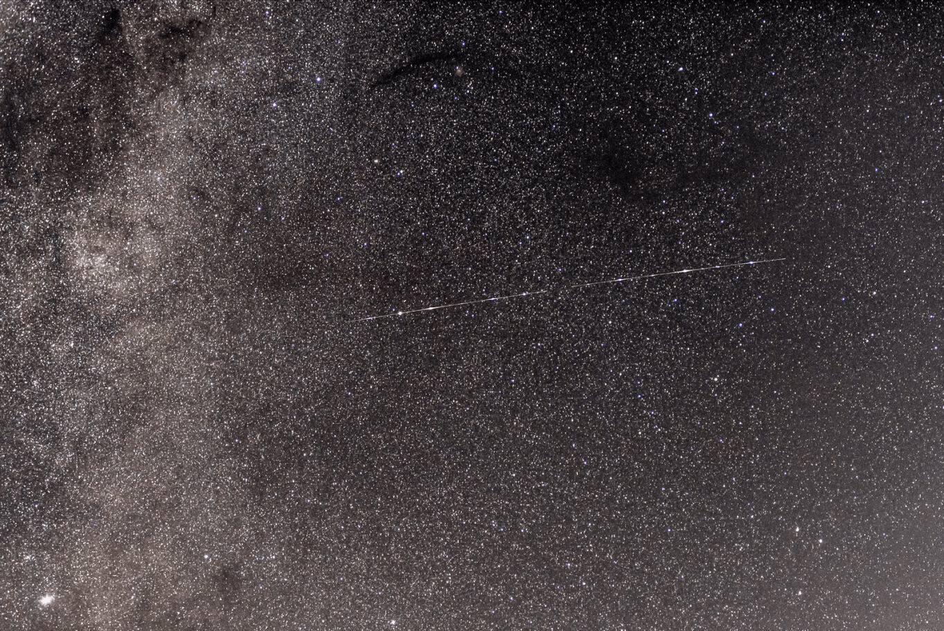
Shooting star. Photographer: Peter Lieverdink. Source: Flickr. License: CC BY-SA 2.0
In this activity, students will examine the landscape, noting geographical features in the star map, and how they correlate to star positions, waterholes, and landforms.
Required resources
Devices
Google Maps or Earth
Stellarium app or Star charts
Step-by-step guide
Step 1: Stellarium App
What is Stellarium? It is a digital planetarium that can accurately display the night sky from anywhere in the world for any time period. It accurately portrays the movements of the Sun, Moon, planets, and stars in real-time. It includes 20+ pre-installed sky cultures, each containing imagery, nomenclature, and text describing the objects and their meaning in a given culture. Because of its open-source architecture, it is fully customisable by the end user. This enables Indigenous artists to add and display their own sky culture information.
Students should be introduced to the concept of star maps. Teachers can provide the students with the background information in this module, or they can have the students read The Conversation article 0 .
Students can use Google Maps or Google Earth to look at the modern highway network, downs, and compare that to the Aboriginal star maps. They should use this to answer the following questions, or others posed by the teacher.
Students will notice the star maps are not a perfect representation of the travel routes across the land. Looking at star maps online, ask the students if they can find other star patterns or constellations that are visible in the evening in August and September that would be useful teaching aides? (The goal here is to show students that one cannot simply pick any random patch of sky and expect it to work.)
What important water and food sources do you find at these towns/stars/camps?
What sorts of terrain do the star maps take the people across in their journey? The terrain feature on Google Maps/Earth is useful here. (i.e are they travelling over mountains or through valleys?)
Using the maps of Aboriginal languages, what Aboriginal language groups do these two routes cross?
The teacher can open a discussion with the students about the broader meaning of the star maps, how landscape features and resources guide travel routes and overnight stays, how this links to star maps, and what will happen if the landscape is damaged or destroyed.