Home/Curriculum resources/Stellar navigation and mathematics/Activity 4 - Using the Sun to Find Cardinal Directions
Learning Area:
Mathematics
Year level:
Level 5
Suggested timing:
30 mins to 1 hour
Required resources:
A stick / stake

Activity 4 - Using the Sun to Find Cardinal Directions
This activity is a part of the Stellar navigation and mathematics resource.
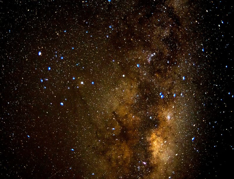
Tarantula Nebula. Photographer: Peter Lieverdink. Source: Flickr. Licence: CC BY-SA 2.0
In this activity, students can use a stick and the sun to find cardinal directions. By observing the movement of the sun's shadow and drawing lines connecting points, they can establish East/West and North/South directions, facilitating the use of a grid reference system for describing locations and developing angle measurement skills.
Step by Step guide
Many Aboriginal stone arrangements are oriented to either North/South or East/West. One simple way to measure this is to drive a stick or stake into the ground on a sunny day.
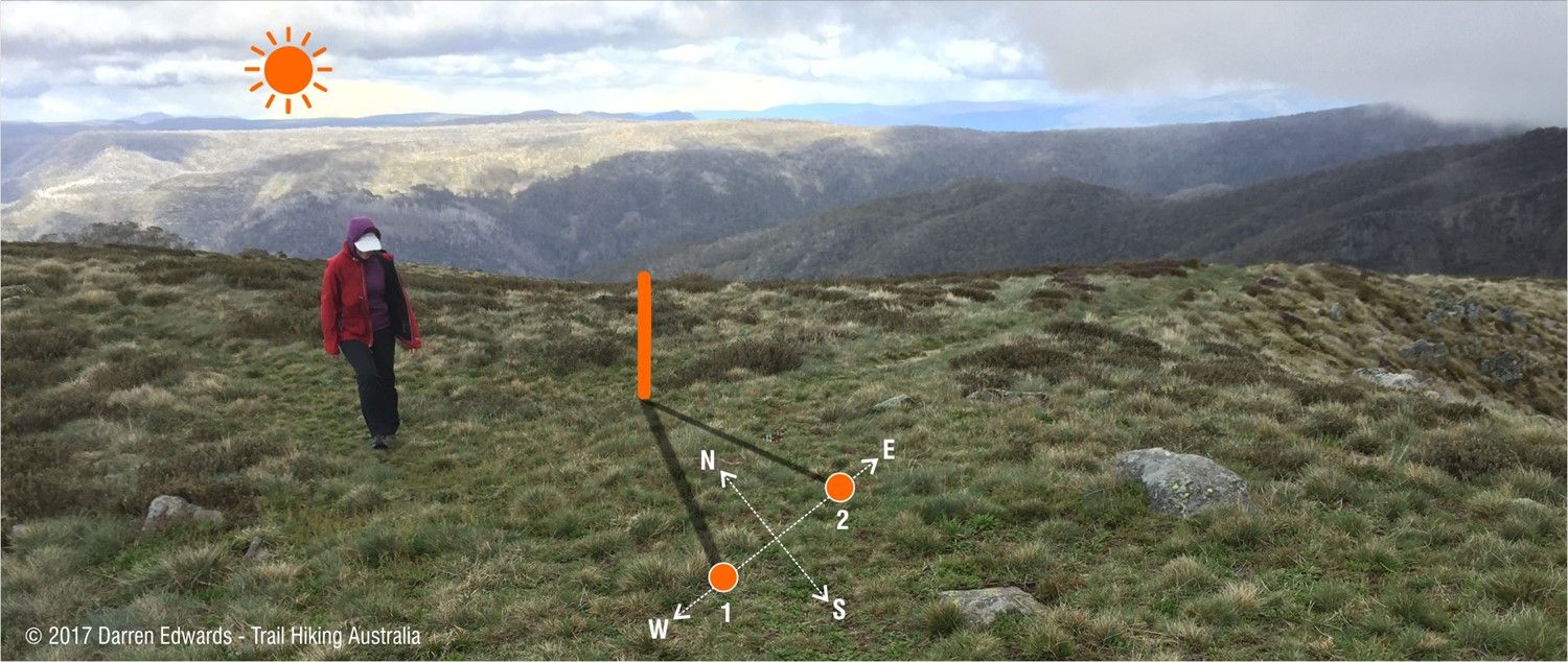
Place a stick vertically in the ground, and mark the tip of the stick’s shadow at two different points in time (say, a half hour to an hour apart). In the Southern Hemisphere, the sun’s shadow will move from left (Position 1) to right (Position 2) in Figure 4. Draw a line connecting these points. This line points to East and West. Draw a line 90° perpendicular to this, which gives the North/South line (Fig. 4).

Fig. 4: Finding Cardinal Directions using a stick and the Sun. Image source: Darren Edwards www.trailhiking.com.au. Mount Howitt in Victoria's high country. Used with permission.
This will function as a grid, enabling students to measure North/South and East/West. They can see what landmarks are found in those directions and discuss how classmates are oriented relative to themselves. In Warlpiri traditions (Central Desert, NT) they refer to people and objects in terms of cardinal points. So rather than saying “Jack is sitting to the left of me”, they would say “Jack is sitting East of me” (if that’s the orientation).
This enables students to use a grid reference system to describe locations and routes using landmarks and directional language (ACMMG113) and further develops their ability to estimate, measure, and compare angles (ACMMG112).
Related activities within this resources:

What is Stellarium?
Discover Stellarium, a digital planetarium that offers a vivid depiction of the night sky worldwide, showcasing the celestial dance of the Sun, Moon, planets, and stars in real-time.

Activity 1 - Measuring angles with your hands and fingers
Students will learn how to measure angular distances in degrees using their hands and fingers as makeshift protractors.
Suggested timing:
10-15 minutes
Required resources:
Clips of Moana, or a copy of the film

Activity 2 - Finding the South Celestial Pole using the Southern Cross
Aboriginal and Torres Strait Islander People used a variety of techniques to find cardinal points. In this activity, students will learn how to find the South Celestial Pole using the Southern Cross, as Aboriginal people did in the past. It will require teachers to familiarise themselves with the Stellarium astronomy software program beforehand.
Suggested timing:
30-45 minutes

Activity 3 - Estimating latitude by measuring the altitude of the South Celestial Pole
As a revision activity, students will be asked to use the knowledge and techniques they've developed to apply to their own burgeoning star-gazing practice.
Suggested timing:
Student’s own time / homework