Home/Curriculum resources/Reading and navigating through songlines/Activity 4 (Part one of three): Creating a map/pathway
Learning Areas:
English, Humanities and Social Sciences, Mathematics, The Arts
Year levels:
Level 3, Level 4

Activity 4 (Part one of three): Creating a map/pathway
This activity is a part of the Reading and navigating through songlines resource.
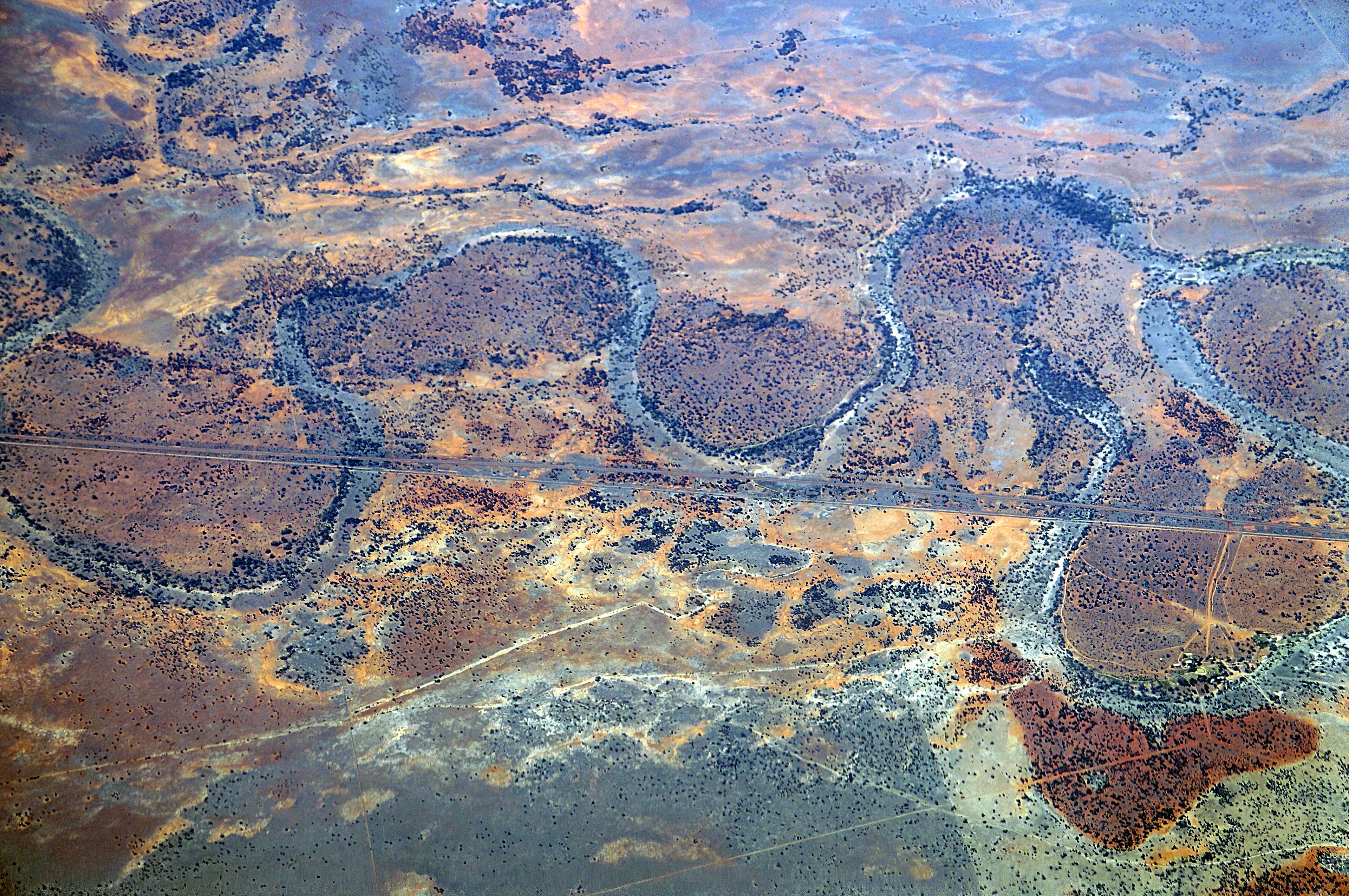
Murray-Darling Basin. Wagga Wagga, Wiradjuri country. Photographer: Mangiwau. Source: Getty Images. Used under licence.

Activity 4 (Part one of three): Creating a map/pathway
Note: This activity has three distinct parts. First, students are asked to connect their understanding of maps and mapping by creating their own personal map of a familiar space, noting key landmarks and features. Then in part two, they transition into a deeper activity where they explore the features and techniques of orality and memory. Finally in part three, they integrate these techniques with their personal maps to create memorable and engaging oral narratives that guide someone from the start to the end of their map/pathway.
Focus: This activity integrates mapping skills with an understanding of songlines, encouraging students to create personal maps that incorporate key landmarks and features, fostering a connection to their own environment.
Possible overarching question: How do songlines help us understand the connection between land, culture, and communication in Aboriginal and Torres Strait Islander cultures?
Step by step guide
Step 1: Connecting to students' prior learning
Step 2: Model map making
Step 3: Personal map or pathway creation
Step 4: Reflection and sharing
Required Resources:
Teacher Support Material
Mapping Materials: grid paper, digital devices if students are creating digital maps, rulers, etc.
Modelling Materials: Materials for co-creating a class map (e.g., chart paper, markers)

Step 1: Connecting to students' prior learning
Begin by revisiting the last lesson's insights on songlines and their use in navigation and trade. Discuss how the case studies provided specific examples of how songlines guide Aboriginal and Torres Strait Islander Peoples through the landscape, marking significant cultural and natural landmarks. Encourage students to reflect on the different purposes of songlines they explored, such as finding food and water, facilitating trade, and conducting ceremonies.
Step 2: Setting the scene - Model map making
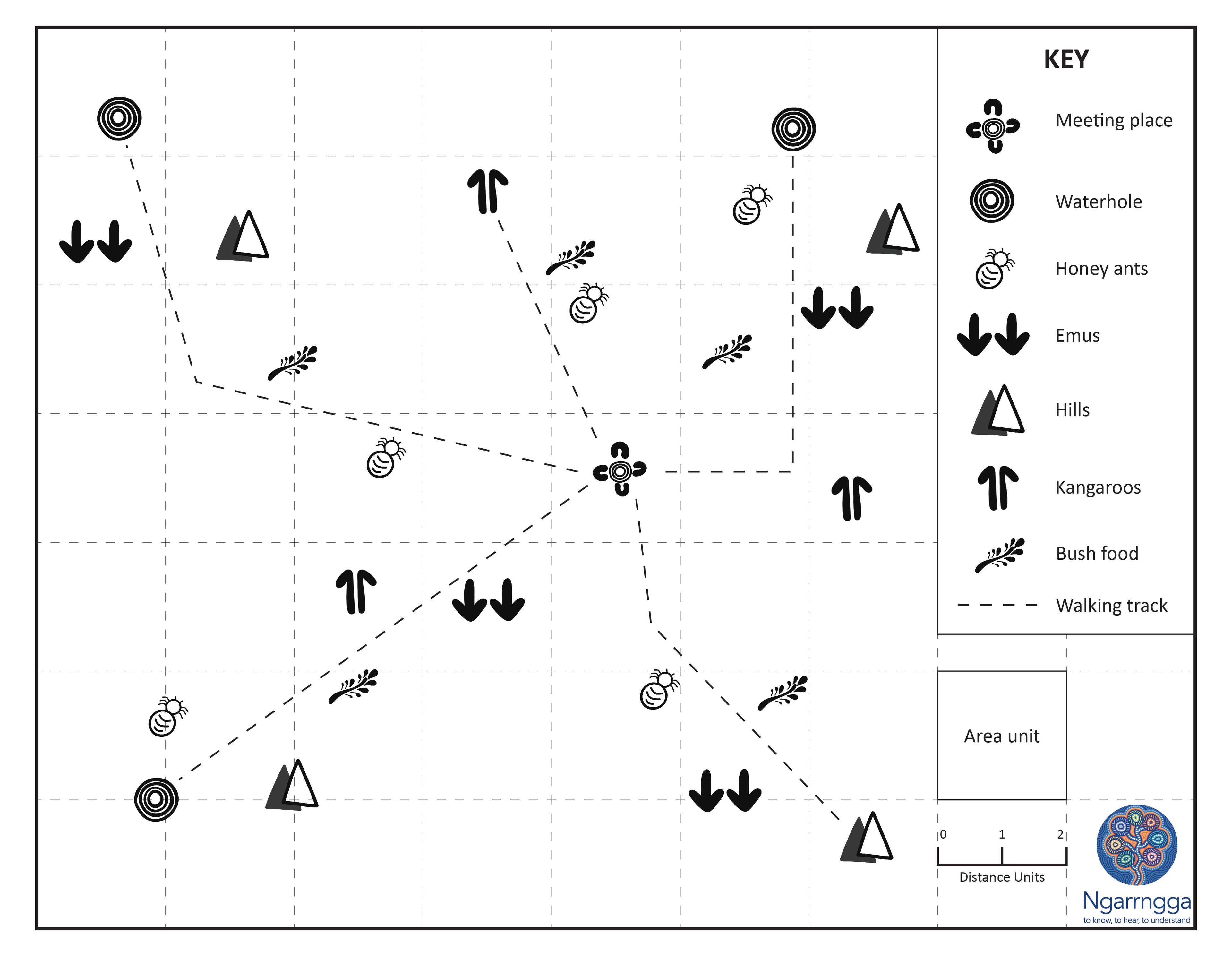
As a class, co-create a map for a guest visitor to find the classroom from the school gates. Identify various features and landmarks (e.g., the main office, playground, library) to tell the story of the journey. Engage students in brainstorming the key features to include and discuss how to represent them visually on the map. Incorporate elements like symbols, grid references, and a key to make the map clear and informative. You could refer to the map from the Gallery Walk in Activity 1.

Step 3: Creating personal maps
Let students know that they are going to create a map to help someone get from one location to another.
Work with students to create a checklist of the elements they could include in their personal maps, using the modelled map as a stimulus.
Have students select a familiar area (e.g., school grounds, nearby park, neighbourhood) to base their map on, ensuring they identify key features (both natural and man-made) that are significant to include. They can spend some time planning their map using the checklist. Encourage students to consider how to convey different aspects of the route and the landscape's features visually.
Students can then move into creating their maps using different mediums that are accessible e.g. digital map, a series of drawings, poster, paper. You may facilitate workshops to teach specific skills that students require.
Step 4: Reflection and sharing
Organise an informal sharing session where students can view and interact with each other's maps. Encourage interactive feedback by having some students stay with their maps to explain them while others circulate and then swap roles. Alternatively, provide resources for students to give written feedback to each other.
You may wish to give students some time to reflect on their own map and note down suggestions for what they might modify or add from seeing other’s work. Provide time for students to make these modifications.
Students will come back to their maps after learning about orality and memory in part three of this activity.

Related activities within this resources:

Activity 1: Modes of communication
This activity aims to help students explore and understand various modes of communication and their purpose. Through a Gallery Walk, investigation, and reflection, students will examine different communication modes. They will identify how these modes are used to share knowledge, navigate, and help people. By unpacking maps and pathways, students will develop a foundational understanding of communication's role and how songlines function as pathways across the land.

Activity 2: Introduction to songlines
This activity builds on Activity 1, where students explored various modes of communication. Now, students will be introduced to songlines, a complex and integral part of Aboriginal and Torres Strait Islander cultures. Through engaging in exploration stations, and reflecting on their learning, students will explore the mode, purpose, and significance of songlines. This activity will help students start to understand how songlines connect land, culture, and communication.

Activity 3: Songlines as navigational guides
This activity aims to deepen students' understanding of how songlines function as navigational guides and routes for trade, ceremony, and social interaction, to find materials for tools, food, water, and shelter. Focusing on the natural and cultural landmarks that support navigation, students will explore various aspects of songlines through class discussions and case studies, concluding with revisiting the class anchor chart.

Activity 4 (Part two of three): Learning about techniques of orality and memory
Building on the skills and insights gained in part one, where students created personal maps and identified key landmarks, this activity introduces the integration of orality and memory techniques. Students will explore how stories, histories, and knowledge are conveyed through spoken word, songs, and other oral expressions.

Activity 4 (Part three of three): Applying techniques of orality and memory to map/pathway
In this final part of Activity 4, students will bring together their map/pathways from part one and the orality and memory techniques learned in part two. They will create and share oral narratives that guide someone through their map/pathway, using techniques such as song, movement, rhyme, humour, and descriptive language. This activity serves as a culminating learning experience, drawing together the sequence of learning and allowing students to apply their knowledge and skills in a meaningful way.

Supporting reading material
Find two student texts about songlines and supporting reading response templates.