Home/Curriculum resources/Reading and navigating through songlines/Case Study 1: Bunya Nut Festival, Queensland
Learning Areas:
English, Humanities and Social Sciences, Mathematics, The Arts
Year levels:
Level 3, Level 4
Case Study 1: Bunya Nut Festival, Queensland
This case study is a part of the Reading and navigating through songlines resource.
View from Pine Gorge Lookout (Bunya Mountains). Photographer: Edward Jones. Source: Wikimedia Commons. Used under licence: CC BY-SA 4.0.

Case Study 1: Bunya Nut Festival
A clear illustration of how Songlines were used to shape and facilitate long-distance travel is the ‘Bunya Bunya Festival’ or ‘Bunya Nut Festival’ which occurred at the Bunya Mountains. Travel to the Bunya Mountains located in South-West Queensland, between Dalby on the Darling Downs and Kingaroy in the South Burnett, occurred every three years. Aboriginal Peoples would travel to the Bunya Mountains for the Bunya Nut Corroboree that continued until the disruption of colonisers.
“The attention of the Bunya tree from European settlers caused the demographic decline in Aboriginal attendance at these gatherings, along with the gradual encroachment of European enterprise upon the Bunya stands themselves, underlines the dual impact of colonisation upon culture and environment (Evans 2002: 47).”
The Bunya Nut Festival was a large gathering at the Bunya Mountains and the Blackall Ranges, traditionally known as the Booburrgan Ngmmunge.

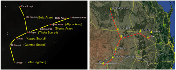
Figure 1: Star Maps as Memory Aids- Carnarvon Gorge and Bunya Mountains star maps overlaid on road map. . Fuller, 2014. Source: Journal of Astronomical History and Heritage, Vol 17, No 2. Used with permission.
Wakka Wakka, Jarowair and Barunggam Peoples are the traditional owners of the Bunya Mountains and have inhabited and managed the mountains through traditional land-use management for thousands of years which includes the Bunya Nut Festival. It has been established that whilst travelling inland from the coast that this Songline included the Chalawong rock art site and the Gummingurru stone arrangements which were likely used as an initiation site. This shows that these examples of stone arrangements, rock art and significant sites all make up a tapestry of culturally significant places that make up a broader travel map and songline for multiple cultural groups to travel on their way to the Bunya Nut Festival.
The festival was known to have brought multiple language groups and tribes from over 450kms in distance together.
We know that people travelled from as far afield as Carnarvon Gorge and Goodooga. We also know that these pathways have since become major freeways, as Europeans followed well-worn pathways already mapped and travelled by Aboriginal Peoples.
During this festival, tribes from far and wide gathered to feast on Bunya nuts and also engage in an array of games, including bowls, running races, spear and boomerang throwing.
The significance of this gathering cannot be understated, as many as fifteen separate cultural groups gathered, up to 700 people at any gathering, bringing a blend of cultural and language groups together for a wide range of purposes.
What happened at the Bunya Nut Festival?
A wide range of cultural practices and functions of the Bunya Nut Festival have been recorded, these include the following:
trading and sharing items, food, information and new knowledge;
observing and arranging cultural, social and kinship obligations;
resolving and settling disputes, held fights;
conducting ceremonies and organising future events;
forging and strengthening alliances between groups;
allowing the interchange of songs, stories and dances between groups and their transmission home; and,
facilitating moiety, marriage and intangible knowledge exchanges.
What is a Bunya tree?
The Bunya pine (Araucaria bidwillii Hook) is a tall pine tree, with broad sweeping branches pointing upwards. It produces the Bunya nut, the cone weighs between 5 and 10 kilograms, and when falling from the tall pines (30-45+ metres in height) can be deadly. The Bunya nut is the shape of a garlic clove, or a shallot, and are similar in taste and texture to a chestnut. They are densely nutritious, and the triennial harvest would have easily facilitated feasting for many hundreds of people.
The Bunya Nut Festival is a wonderful example of how navigating across great distances for social and cultural activities occurred. It shows a clear connection to country, and a deep understanding of reciprocity, with the sharing of resources and working together.
“We belong to this land, the land is our Mother. We are part of a spiritual structure. That’s Aboriginal culture. That is Boobarran Ngummin, the Bunya Mountains, our Mother (Jerome 2002: 4-5).”
Paddy Jerome, Jarowair elder and custodian of the Bunya Mountains
How is the Bunya Nut Festival being revived and re-imagined?
Recently, there has been a modern revival of the Bunya Nut Festival known as Bunya Dreaming, led by Kabi Kabi Elder, Aunty Beverly Hand and a committee of Aboriginal leaders. The new festival does not seek to replicate the goings on of the historic festival, but to replicate the spirit of it, alongside an aim to improve recognition of Indigenous cultures and actively engage in reconciliation.
The events at the festival include collecting, shucking and throwing Bunya nuts, alongside sharing of traditional bush foods, wildlife displays, music, and knowledge sharing about local Indigenous culture in all its forms. Formal discussions on the challenges related to the original gathering also occur.

Related case studies within this resources:

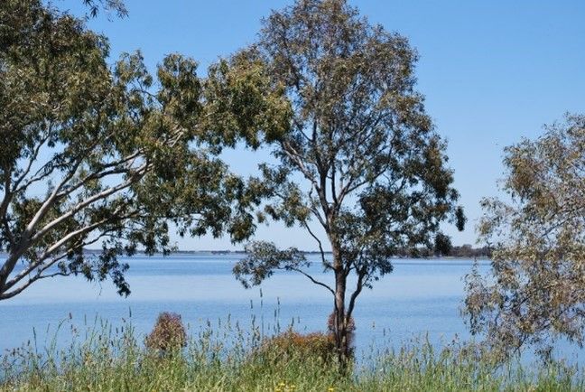
Case Study 2: The Lake Bolac Stone Arrangement, Victoria
The Lake Bolac Stone Arrangement is an illustration of navigation for ceremony and social interaction.

Case Study 3: Dampier Rock Art Precinct, Western Australia
The Dampier Rock Art Precinct is an illustration of navigation to a site of significance.

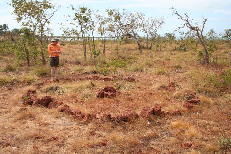
Case Study 4: The Wurrwurrwuy Makassan Stone Pictures, Northern Territory
The Wurrwurrwuy Makassan Stone Pictures is an illustration of navigation for trade.

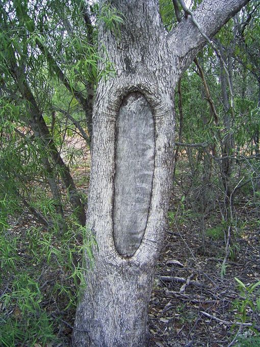
Case Study 5: Scar Tree at Heide Yingabeal, Victoria
The Scar Tree at Heide Yingabeal is an illustration of markers to support navigation.